This site is currently UNDER CONSTRUCTION. b3de is content aggregator mobile friendly website that presents content made available by your favorite sources ( and even some you've likely never heard of ) via really simple sindication and web syndication.
Created by reddit user CharlesOberonn The map above clearly shows when Egypt has and hasn’t been ruled by Egyptians. Overall, it’s been ruled by Egyptians for 2,194 years (42.8% of the time) and non-Egyptians for 2,930 years (57.2%) of the time. The time line looks as follows: (Egyptian) (non-Egyptian) c.3100 BCc.2180 BC Old […]
The map above clearly shows when Egypt has and hasn’t been ruled by Egyptians. Overall, it’s been ruled by Egyptians for 2,194 years (42.8% of the time) and non-Egyptians for 2,930 years (57.2%) of the time.
The time line looks as follows:
(Egyptian)
(non-Egyptian)
c.3100 BCc.2180 BC Old Kingdom (Egyptian)
c.2180 BCc.2055 BC 1st Intermediate Period (Egyptian)
c.2055 BCc.1650 BC Middle Kingdom (Egyptian)
c.1650 BCc.1550 BC Hyksos Period (non-Egyptian)
c.1550 BC1077 BC New Kingdom (Egyptian)
1077 BC663 BC 3rd Intermediate Period (non-Egyptian)
663 BC525 BC Late Ancient Period (Egyptian)
525 BC404 BC First Achaemenid Period (non-Egyptian)
404 BC343 BC 28th-30th Dynasties (Egyptian)
343 BC332 BC Second Achaemenid Period (non-Egyptian)
332 BC30 BC Hellenistic Period (non-Egyptian)
30 BC641 Roman Period (non-Egyptian)
641658 Early Islamic Period (non-Egyptian)
658750 Umayyad Period (non-Egyptian)
750868 First Abbasid Period (non-Egyptian)
868905 Tulunid Period (non-Egyptian)
905935 Second Abbasid Period (non-Egyptian)
935969 Ikhshidid Period (non-Egyptian)
9691174 Fatimid Period (non-Egyptian)
11741250 Ayyubid Period (non-Egyptian)
12501517 Mamluk Period (non-Egyptian)
15171798 Ottoman Province (non-Egyptian)
17981801 French Occupation (non-Egyptian)
18011882 Muhammad Ali Dynasty (non-Egyptian)
18821952 British Protectorate (non-Egyptian)
1952Present Republican Egypt (Egyptian)
Want to learn more about Egyptian history? Then Have a look at the following books:
Main Summary ?? The north/south divide in England has historical roots dating back to the Viking invasion, leading to suspicion and stereotypes between the two regions. ?? The north/south divide in England can have significant impacts on house prices, education, and life expectancy. ?? A proper academic study by Professor Danny Dorling took cultural and […]
Main Summary
?? The north/south divide in England has historical roots dating back to the Viking invasion, leading to suspicion and stereotypes between the two regions.
?? The north/south divide in England can have significant impacts on house prices, education, and life expectancy.
?? A proper academic study by Professor Danny Dorling took cultural and economic factors into account to determine the north/south divide in the UK.
?? The concept of the north/south divide is subjective and can vary depending on different perspectives and interpretations.
?? The north-south divide is a global phenomenon, affecting countries like New Zealand, Italy, the USA, and many others.
The north/south divide in England has historical roots and can have significant impacts on various aspects of life, and it is a global phenomenon affecting other countries as well.
00:00 ?? Northerners and southerners in England have historically viewed each other with suspicion and have different stereotypes about each other.
00:42 ?? The north/south divide in England is determined by population distribution, not just geographical distance.
01:23 ??? The north/south divide in the UK is difficult to pinpoint, as different regions have varying opinions on where it lies.
02:07 ??? The north/south divide is not a straight line, but rather a squiggly one that puts cities in unexpected regions.
02:31 ?? Many countries have pronounced north-south divisions, leading to economic and cultural divides.
03:00 ??? The north/south divide theory is up for debate, with some dismissing Wales as irrelevant.
Key insights ??? The 13th century Hereford Mappa Mundi is orientated with East at the top, which is why it looks nothing like the actual world. ??? There are no oceans, and only three continents, And THIS is supposed to be Britain! ?? Ptolemy’s map of the known world in 100 AD challenges the idea […]
Key insights
??? The 13th century Hereford Mappa Mundi is orientated with East at the top, which is why it looks nothing like the actual world.
??? There are no oceans, and only three continents, And THIS is supposed to be Britain!
?? Ptolemy’s map of the known world in 100 AD challenges the idea that ancient civilizations lacked scientific knowledge.
??? The Hereford Mappa Mundi seeks to portray a global Christian hegemony by charting the history of creation, the soul’s journey to the afterlife, and predicting the end of the world.
The Hereford Mappa Mundi is a medieval map that reflects the Christian worldview and beliefs of the time, rather than an accurate representation of the world.
00:00 ?? The 13th century Hereford Mappa Mundi is a map that looks nothing like the actual world because it was orientated with East at the top.
00:31 ??? Mappa Mundi is a confusing map with no oceans, three continents, and inaccurate locations.
00:57 ?? Ptolemy created an impressive map of the world in 100 AD using limited equipment, proving they were not as ignorant as they may seem.
01:19 ??? The Hereford Mappa Mundi is a representation of a global Christian worldview, guiding the soul’s journey to the afterlife and predicting the end of the world.
Key insights ??? Political ideology clashed with city planning realities when the Iron Curtain split Berlin in two, impacting the lives of 3 million people. ??? 1948 was the year when everything changed for Berlin and where the split really happens. ?? The Berlin Airlift provided 1,500 tons of food and 3,500 tons of coal […]
Key insights
??? Political ideology clashed with city planning realities when the Iron Curtain split Berlin in two, impacting the lives of 3 million people.
??? 1948 was the year when everything changed for Berlin and where the split really happens.
?? The Berlin Airlift provided 1,500 tons of food and 3,500 tons of coal each day to the 2 million people within the Western zone by air.
?? East Germany disconnected all essential services connecting West Berlin, including electrical lines, telephone lines, bus and tram services, and water pipes, creating a divide between the two sides.
?? The Berlin Wall was built to put an end to the defector loophole and cut off all daily trips between East and West Berlin.
?? The Berlin Wall extended to the transit system below ground, with several stations becoming ghost stations and one station, Friedrichstrasse, remaining open as a checkpoint.
?? The fall of the Berlin Wall in 1989 ended West Berlin’s relative isolation, leading to the celebration of the city’s reunification.
The division of Berlin by the Iron Curtain and the construction of the Berlin Wall had a significant impact on the lives of the city’s residents, but the fall of the wall in 1989 led to the reunification of the city.
00:00 ?? East Germany built a Wall around West Berlin in 1961, severing the U-Bahn lines, and the Iron Curtain divided Berlin into four sectors after the Yalta Conference in 1945.
02:04 ?? Berlin was divided into four sectors after WWII, but in 1948 it was split in half by the introduction of the Deutsche Mark currency, causing tension between the Western Allies and the Soviet Union.
03:50 ??? The Berlin Blockade led to the Berlin Airlift to supply the Western half with food and coal, creating challenges for city services and utility agencies as Germany was split into two countries.
05:42 ??? West Berlin improved its electrical and water capacity to become self-sufficient after East Germany disconnected all connections, leading to a mutually beneficial sewage arrangement during the Cold War.
06:48 ?? The growing self-sufficiency of West Berlin led to a significant population decline in East Berlin, prompting the construction of the Berlin Wall to stop the flow of skilled workers to the West, dividing the city and disrupting the lives of those who worked in West Berlin but lived in East Berlin.
08:21 ?? East German authorities made exceptions for crossing the Berlin Wall, with some stations remaining open for border crossings, but the S-Bahn rail system was split in two and boycotted by many West Berliners.
09:20 ?? West Berlin isolated and reliant on aid, leading to economic struggles, pollution, and protests, but after the fall of the Berlin Wall, the city was finally reunited.
11:18 ?? Berlin was split in half by the Berlin Wall, and Curiosity Stream offers a documentary with never-before-seen footage of Berliners during that era, with a special deal to get both Curiosity Stream and Nebula for less than $15 a year.
Map created by reddit user u/wes7946 The map above shows a rather stunning fact, 95% of the plastic found in the ocean comes from just 10 rivers. The data comes from a 2017 research paper titled: Export of Plastic Debris by Rivers into the Sea. Here’s the a table of the amount of pollution by […]
The map above shows a rather stunning fact, 95% of the plastic found in the ocean comes from just 10 rivers. The data comes from a 2017 research paper titled: Export of Plastic Debris by Rivers into the Sea.
Here’s the a table of the amount of pollution by river:
In order of the amount of pollution the rivers are:
Mum The 7 maps here show how people in the UK and Ireland refer to their mothers. From Mum to Mom and everything in between. Full credit to Star Key comics for creating all of them. Mummy Ma Maw Mam Mammy Mom Not from the UK, or think we got something wrong? Then leave us […]
Mum
The 7 maps here show how people in the UK and Ireland refer to their mothers. From Mum to Mom and everything in between. Full credit to Star Key comics for creating all of them.
Mummy
Ma
Maw
Mam
Mammy
Mom
Not from the UK, or think we got something wrong? Then leave us a comment below:
The video above is the first in the Jay Foreman and Mark Cooper-Jones Map Men series. The area they discuss is Bir Tawil. See a map below: Map from Birtawill via Wikimedia Video Summary: The video titled “Bir Tawilthe land that nobody wants” discusses the unique situation of Bir Tawil, a piece of […]
The video above is the first in the Jay Foreman and Mark Cooper-Jones Map Men series. The area they discuss is Bir Tawil. See a map below:
The video titled “Bir Tawilthe land that nobody wants” discusses the unique situation of Bir Tawil, a piece of land between Egypt and Sudan that is unusual because neither country claims it. Here’s a summary of the video:
Introduction to Bir Tawil: The video starts by introducing Bir Tawil, a piece of land about the size of London, located in the disputed border area between Egypt and Sudan. It is notable because, unlike most disputed territories, nobody wants to claim it.
Historical Background: The situation in Bir Tawil is traced back to the British colonial era. The British drew a straight line in the desert to demarcate the border, ignoring tribal boundaries. Later, in 1902, they drew a new line to better reflect cultural differences, resulting in two borders: a straight one and a squiggly one.
The Hala’ib Triangle Dispute: The creation of these two borders led to a dispute over the Hala’ib Triangle, a valuable area that both Egypt and Sudan wanted to control. Egypt claimed the straight line border, while Sudan claimed the squiggly line. The unique situation arose where if either country claimed Bir Tawil, they would have to relinquish their claim to the more valuable Hala’ib Triangle.
Bir Tawil’s Status: As a result, Bir Tawil remains the only territory in the world where both neighboring nations insist it’s not theirs. This has led to it being internationally recognized as terra nullius, meaning ‘land belonging to no one’.
Attempts to Claim Bir Tawil: The video mentions a 2014 incident where an American named Jeremiah Heaton traveled to Bir Tawil and claimed it so his daughter could be a princess. However, due to a lack of United Nations recognition and recognition from any other country, such claims are not taken seriously.
Conclusion: The video concludes by reiterating the unique status of Bir Tawil as a piece of land with literally nothing in it, which remains unclaimed due to the surrounding geopolitical situation.
The video provides an interesting insight into the complexities of territorial disputes and the unusual circumstances that can arise from colonial-era border decisions.
Map crated by Reddit user u/willtkred The map above is the companion to England's North/South Divide Based Only On Population, expect this time splitting the England and Wales East/West rather than North/South based on 2021 census numbers on official county borders. The map sparked some controversy on reddit with user Elegant_Celery400 claiming that: Ah, but […]
The map above is the companion to England's North/South Divide Based Only On Population, expect this time splitting the England and Wales East/West rather than North/South based on 2021 census numbers on official county borders.
The map sparked some controversy on reddit with user Elegant_Celery400 claiming that:
Ah, but it’s not actually ‘by population’ is it? It’s ‘by county population’, which is why we have the obvious anomaly of Leeds being designated as ‘West’ when it’s clearly further to the East of the notional boundary line than the East-designated Sheffield. (Still with me? Keep up, it’ll be on the test.)
To which u/willtkred responded:
You are right, of course. I have considered doing it by wards/constituencies for a more accurate line. Doing it by MSOA data doesn't seem worth it and indeed I think the point of these maps (that when split by population, the north south divide is pretty southern, which is basically a funny way to consider the divide) has already been proventhis is buttressed by the comments on the N/S map you alluded to. Essentially, I don't think narrowing it down is worth it for what I wanted to show with the map (not would it change many of the few useful conclusions which can be drawn from it). You are right that it would be more accurate it determine specific cities locations relative to dividing lines, but again, I think there's over 7,000 MSOA areas from the 2020 data, in England and Wales and I don't think the output from such research would be worth the immense increase of input.
Map created by reddit user u/willtkred The map above show’s England’s North South divide based solely on where 50% of the population live based on the 2021 census using official county border. The blue areas has 50.25% of the population or 28.3 million people and the red areas have 49.75% of the population or 28.1 […]
The map above show’s England’s North South divide based solely on where 50% of the population live based on the 2021 census using official county border.
The blue areas has 50.25% of the population or 28.3 million people and the red areas have 49.75% of the population or 28.1 million people.
In terms of area the two aren’t actually all that different:
The northern section takes up 55.58% to the southern’s 44.42% (these are relatively approximate though, I could not be bothered to research the areas of each county used, although this could easily be done, just slightly time consuming).
This is likely due to the fact that while London and the South-East is relatively densely populated the South-West isn’t.
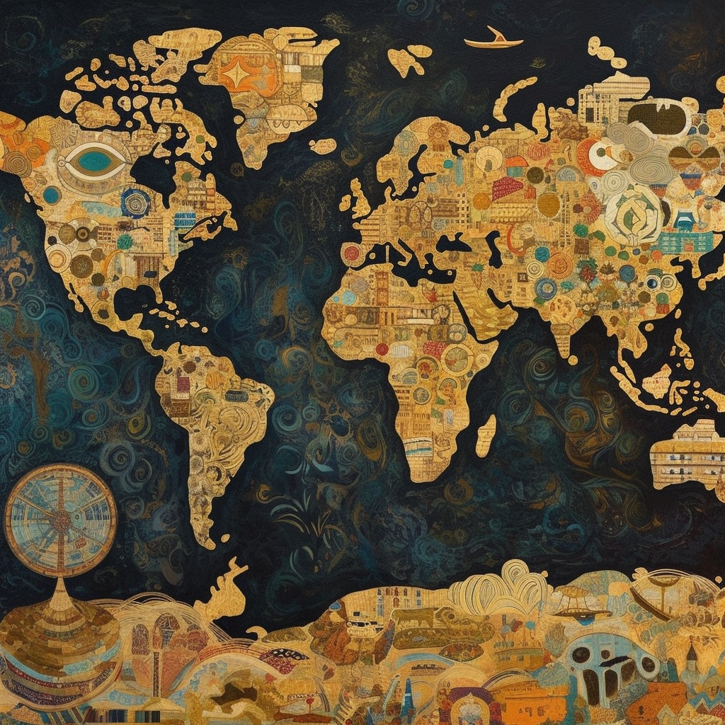
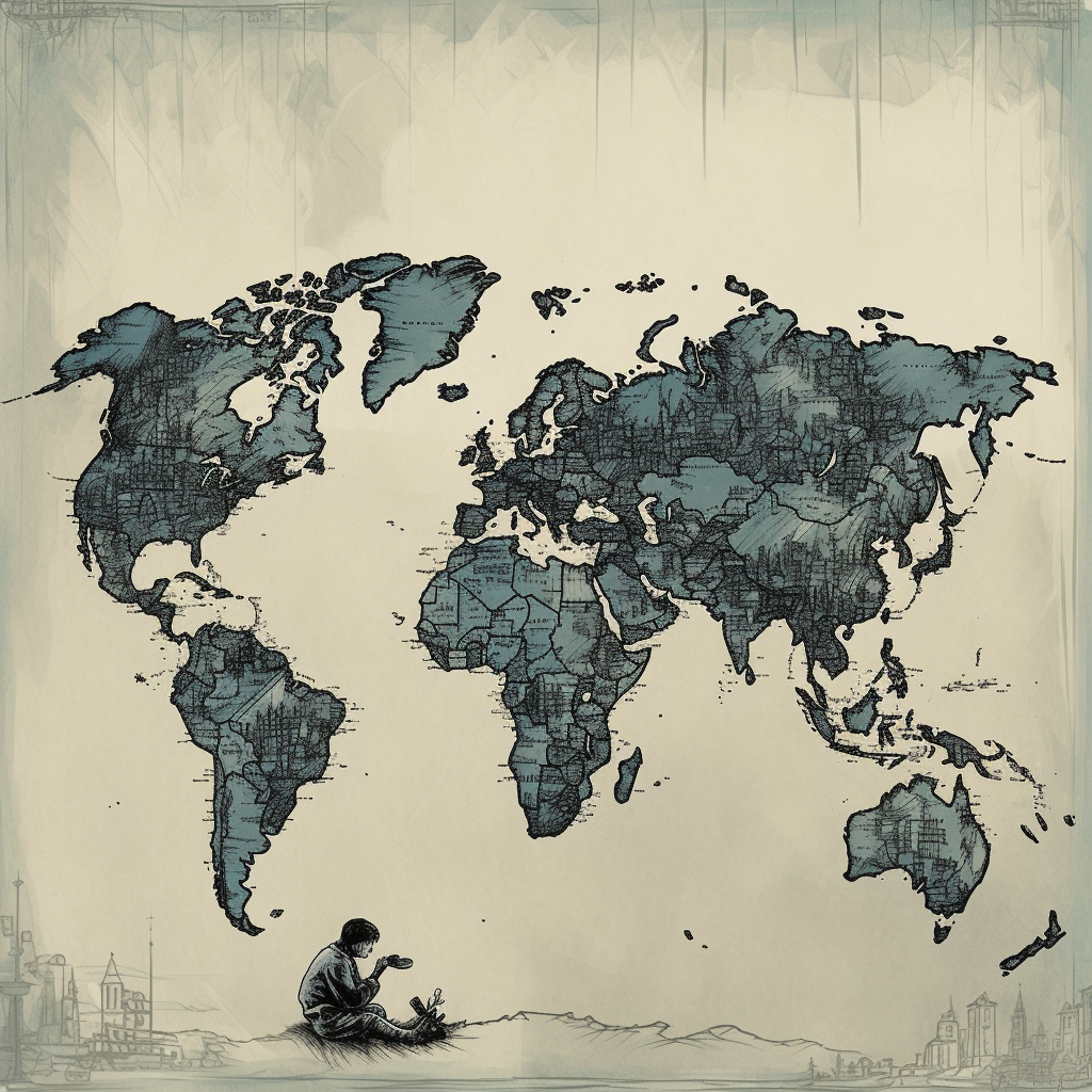
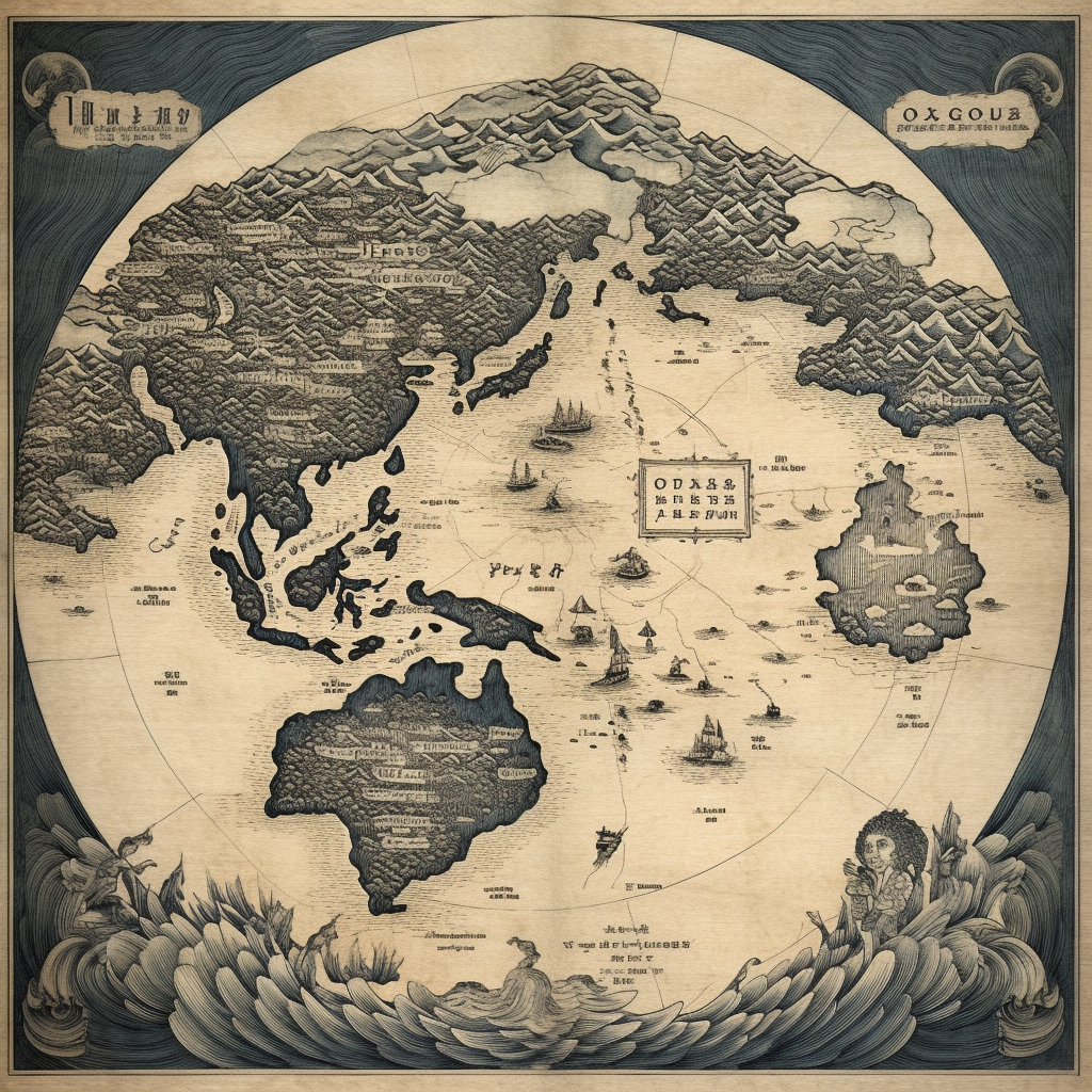
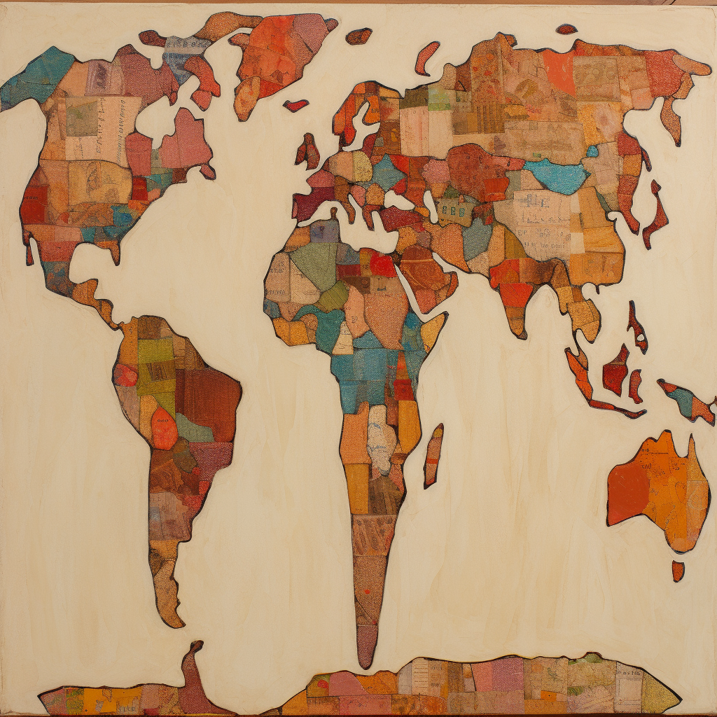
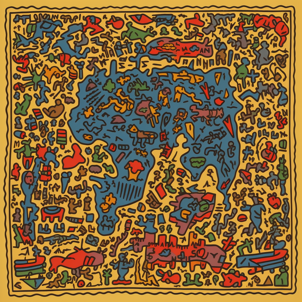
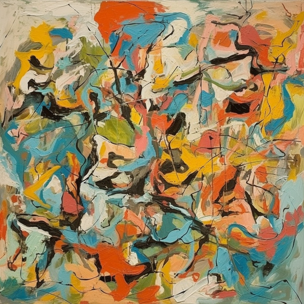
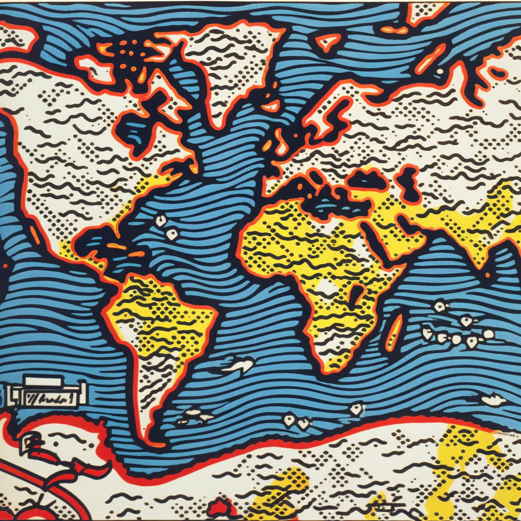
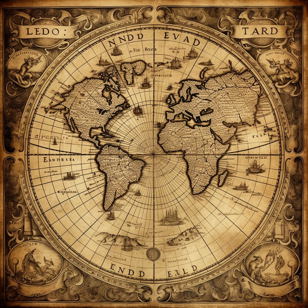
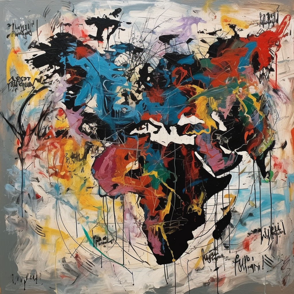
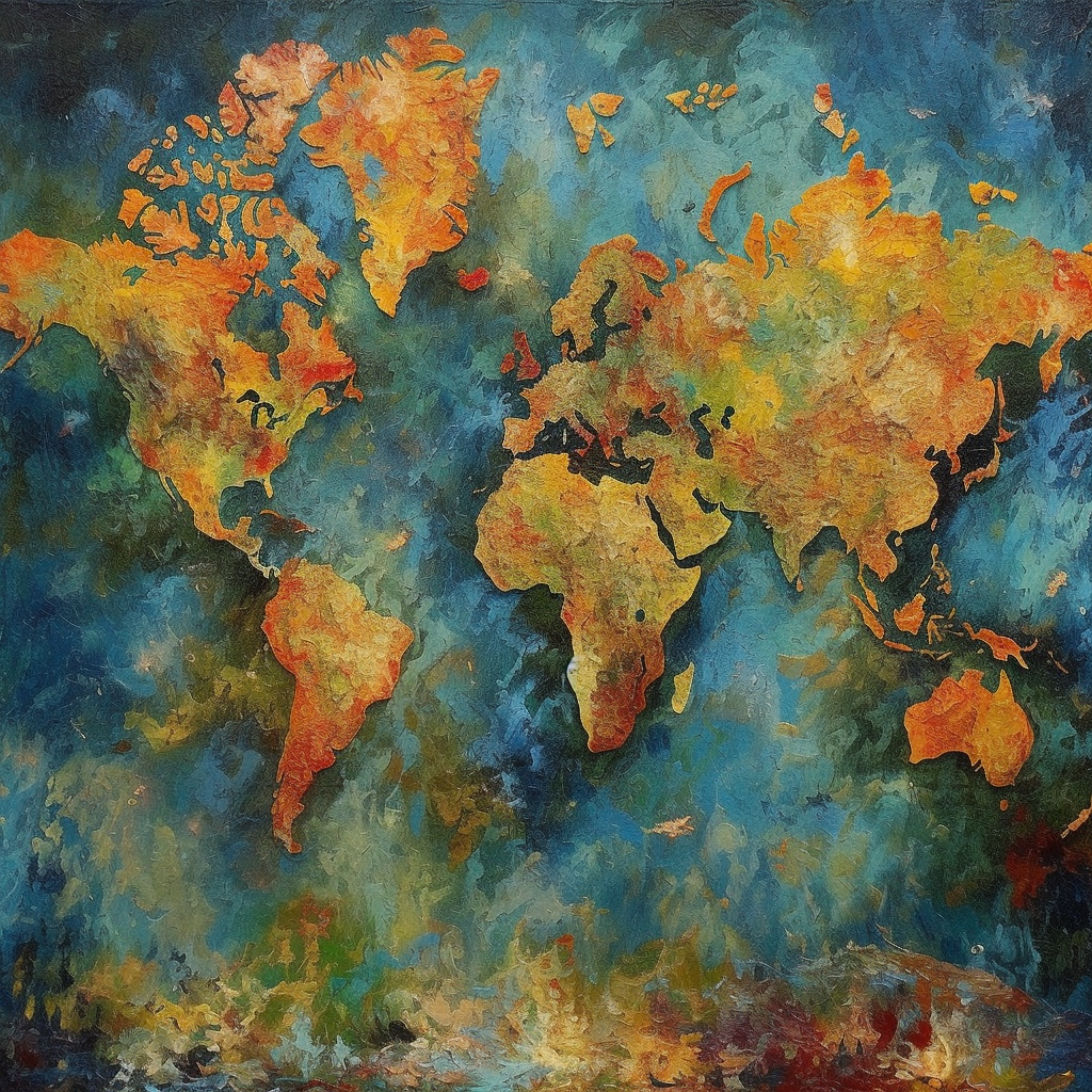
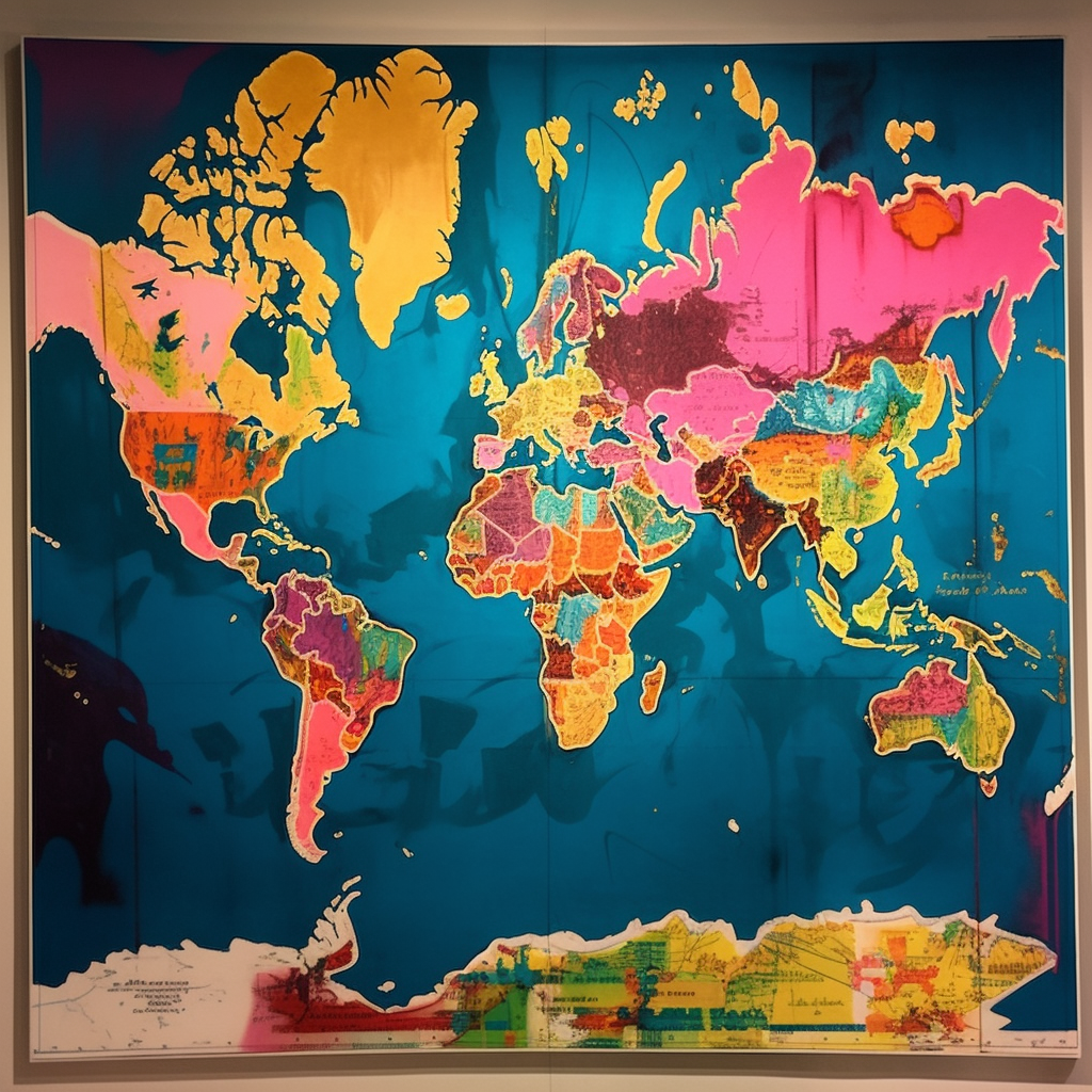
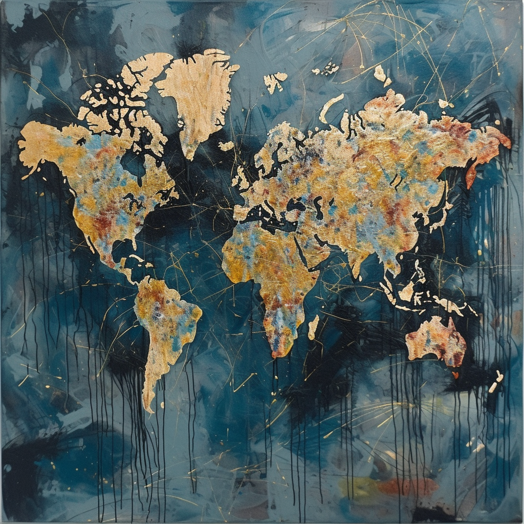
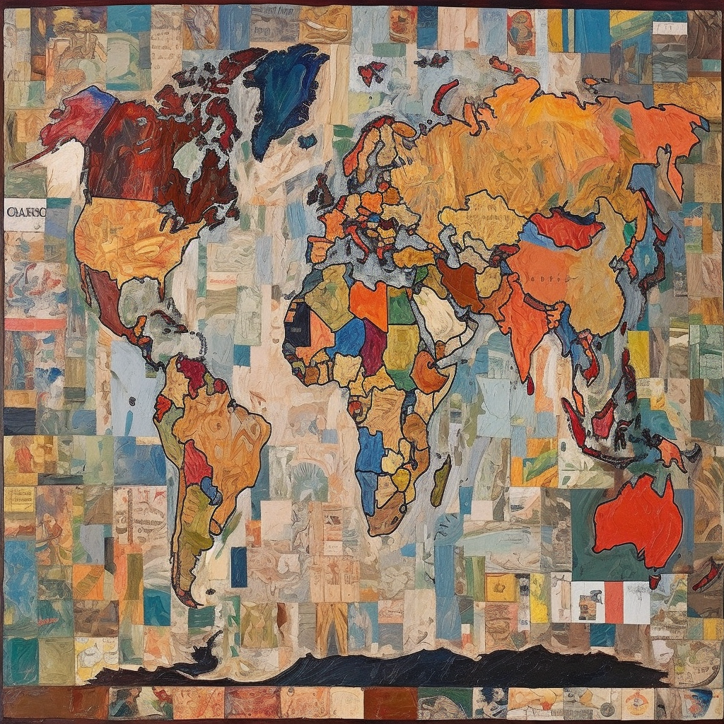
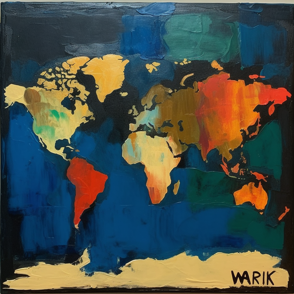
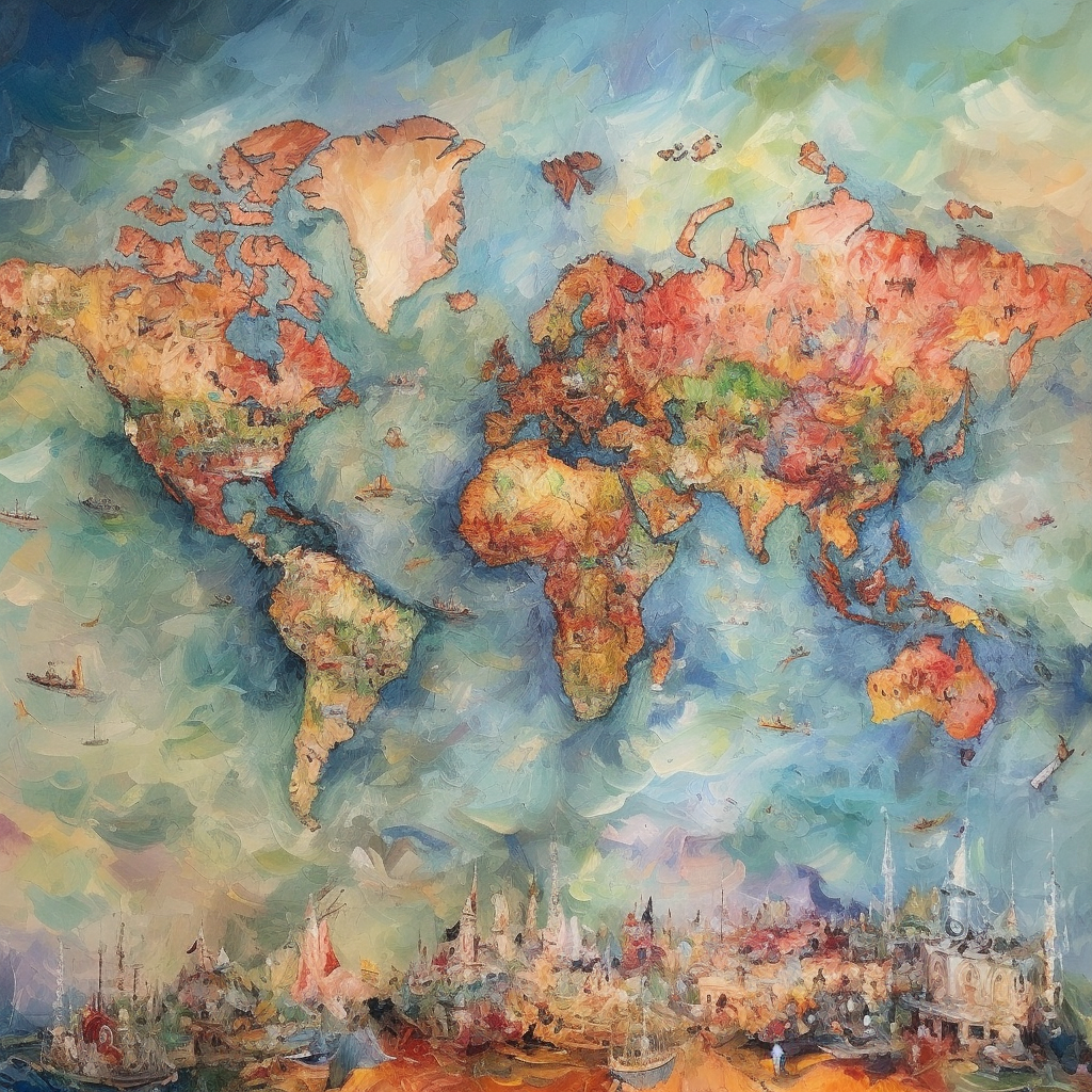
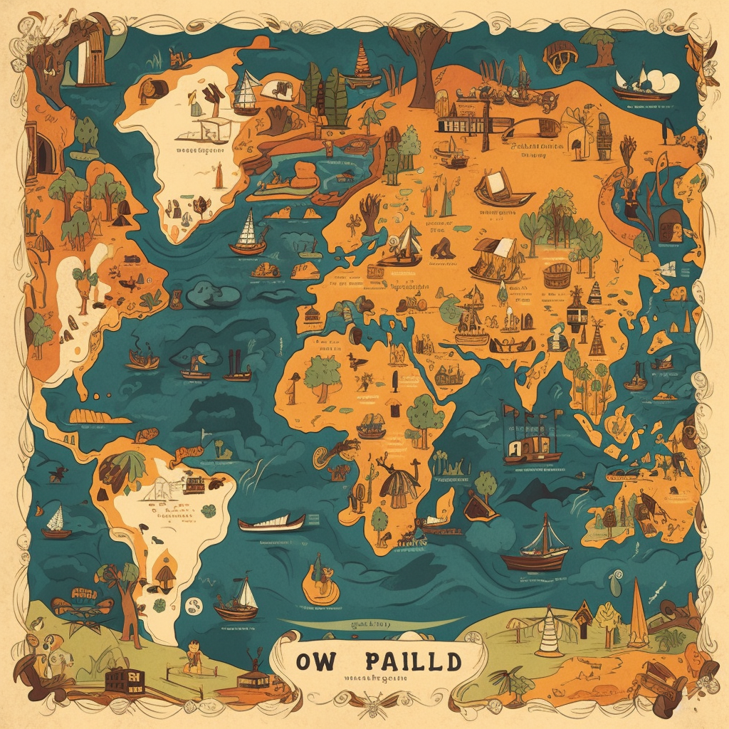
The 19 maps below were all created by AI image tool Midjourney. I asked it to create a world map in the style of each artist and here’s what it came up with: 1. Gustav Klimt 2. Banksy 3. Jackson Pollock 4. Hokusai 5. Amedeo Modigliani 6. Keith Haring 7. Willem de Kooning 8. Roy […]
The 19 maps below were all created by AI image tool Midjourney. I asked it to create a world map in the style of each artist and here’s what it came up with:
1. Gustav Klimt
2. Banksy
3. Jackson Pollock
4. Hokusai
5. Amedeo Modigliani
6. Keith Haring
7. Willem de Kooning
8. Roy Lichtenstein
9. Leonardo da Vinci
10. Jean-Michel Basquiat
11. Claude Monet
12. Andy Warhol
13. Francis Bacon
14. Jasper Johns
15. Mark Rothko
16. Paul C�zanne
17. Pierre-Auguste Renoir
18. Paul Gauguin
19. Vincent van Gogh
Watch This Post
Like this post? Then please share it with a friend: